EO/IR multi-sensor systems in public safety aviation

Today’s advanced electro-optical and infrared sensor systems provide more than just the ability to identify the location of a subject. The AMR editorial team talks to pilots and manufacturers about how these technologies are being used and what makes them such a valuable tool in law enforcement and public safety missions
Cameras, sensors, tracking and mapping – advanced electro-optical and infrared (EO/IR) sensor systems are an increasingly vital tool for special missions as they get more sophisticated and of a higher resolution across a wider electromagnetic spectrum.
Police forces can use these technologies to their advantage and the systems are typically EO/IR and night vision goggles (NVG) for the flight crew, where the EO/IR sensor is used to acquire a subject visually, observed Casey Kumar, Pilot at St Johns County Sheriff’s Office. “IR is used to look at heat and potentially locate something ‘hot’ that should not be hot and then walk ground units in on the ‘hot’ object,” he explained. “NVGs are used to make night look like daytime so that flight crews can look out the window and potentially see a subject, or random light source that may come from a lost subject or running suspect.”
In this feature, we shall review what systems are available and how police forces make use of these technologies.
Common tools for special missions
L3Harris has an airborne portfolio of systems that are deployed at varying ranges and with overlapping fields of view. These imaging and targeting systems are found on more than 230 different types of platforms, including fixed-wing, rotor-wing, uncrewed aerial vehicles (UAVs) and aerostat platforms. “Within our product portfolio is a series of systems that encourage ease and familiarity of use, simplified turret interchangeability within fleets, efficiencies in technology enhancements and overall system support,” said L3Harris. “Our WESCAM MX-Series of multi-sensor, multi-spectral, EO/IR surveillance and targeting systems support intelligence, surveillance, reconnaissance, target acquisition and search and rescue missions from platforms across the air, land and maritime domains.”
According to Kumar, advanced EO/IR sensor systems are the very tool for any law enforcement (LE) mission. “The primary goal for the majority of LE missions is patrol support and that is done primarily by using these sensors to see what the general patrol deputy/officer/trooper cannot see, which consists primarily of differences in temperature and high-definition (HD) EO from a bird’s eye view,” he said. “The map overlay systems provide an ease of ability for setting up perimeters and advising patrol units where the camera is looking at without taking eyes off the target, subject, or individual.”
Chris Haas, Tactical Flight Officer (TFO) and supervisor at the Sonoma County Sheriff’s Office Helicopter Unit, also highlighted that EO/IR sensor systems are very common in special missions and their increased benefit is the time gain. “This is unquantifiable but essential. The fact is that when one can use these technologies to make a mission go faster it is like buying time, and this makes these systems well worth the cost of purchase,” he said.
The fact is that when one can use these technologies to make a mission go faster it is like buying time, and this makes these systems well worth the cost of purchase
The value that is added by law enforcement agencies having access to advanced EO/IR sensor systems is not just limited to the amount of data that can be gathered and the improvements in situational awareness that they provide, but extends further. Jeff Sherwood, Director of Business Development at SKYTRAC, explained: “Aircraft equipped with EO/IR systems and other sensor payloads can gather large amounts of mission-critical data and provide advanced situational awareness from their airborne vantage point. The ability to transmit this data, such as video, in real time to law enforcement agencies on the ground can improve responsiveness, coordination of resources, and provide a unique unobstructed view that wouldn’t be available without airborne assets. This unique capability can be a critical tool in various airborne missions serving all areas of law enforcement, including search and rescue, and emergency medical services operations.”

Getting sophisticated
Advanced EO/IR sensor systems are getting more sophisticated and of a higher resolution across a wider electromagnetic spectrum. According to Kumar, the progression from standard definition to HD in the realm of EO/IR sensors allows flight crews to have a crisper, clearer, enhanced picture of what they are looking at. “Allowing flight crews not just to observe a blob determined to be a subject, but to actually describe in detail what the subject has in their hands or what the writing on the shirt says helps with giving indications to patrol deputies, officers, or troopers,” he said. “This also allows for flight crews to fly at higher altitudes, which is safer for the flight crew in the event of an emergency and implies less noise to the citizens on the ground.”
We have used some legacy versions on an older aircraft that we have since gotten rid of, but they just do not compare with HD systems
According to Haas, HD is now the standard among all the different manufacturers. “We have used some legacy versions on an older aircraft that we have since gotten rid of, but they just do not compare with HD systems. It is not just the resolution, the cameras, or the computer; the crucial point is that newer systems are becoming much more user-friendly and – obviously when something is easier to use – they are much more effective,” he affirmed.
To improve performance and reliability, L3Harris is developing new products and features in its line-up of sensor systems. “Across our WESCAM MX-Series products, we are developing continued enhancements of medium- to large-diameter EO/IR systems that will be progressively released over the coming year to improve reliability, range performance, and reduce operator workload. These systems include the WESCAM MX-15, MX-20 and MX-25 EO/IR imaging systems that provide intelligence, surveillance, and reconnaissance (ISR) for medium, high, and ultra-high altitude missions. The stabilization and reliability of our products is set to benefit from further technology advancements that increase detect, recognize, and identify (DRI) ranges,” highlighted L3Harris. “Our customers’ mission needs require extremely high reliability and robustness to ensure mission success under the harshest operating conditions. Combined with a high-performance software suite, the WESCAM MX-Series achieves target location accuracy with automatic alignment to the aircraft and provides a robust automatic image focus.”
The improvements in the fidelity and capabilities of the sensors mean that there is so much more data to gather and transmit. This in itself presents a challenge if the data cannot then be transmitted or shared in a timely and usable manner. Describing the challenge, Sherwood said: “Our SDL-350 satcom system has been designed to serve a variety of high-definition video applications. The system leverages Iridium Certus satcom and 4G LTE cellular connectivity services, which can be configured to prioritize cellular (when available) services before switching to Iridium’s global broadband service. Through a recent partnership, we are also introducing an innovative new video compression solution that can deliver full-motion HD video over Iridium’s satellite network. This software-based solution can simultaneously manage multiple video feeds over multiple datalinks while allowing ground users to control the camera, picture quality, and record capture. These solutions can enable HD video transmissions from a variety of cameras on a single aircraft, including external EO/IR gimbals, cockpit cameras, emergency medical services crew cameras, etc.”
Aware of the complexities of transmitting large amounts of data, Teledyne FLIR makes its systems as compatible as possible, said Krieg: "Teledyne FLIR conforms to Society of Motion Picture and Television Engineers (SMPTE) and Motion Imagery Standards Board (MISB) standards for formatting of our digital video and embedded metadata. By conforming to these standards, we ensure compatibility with broadcast, recording and compression devices. Also for our SAFIRE 380X capability, we conform to H.264 and H.265 encoded video standards natively output from our systems."
Systems available
The variety of platforms available to and used by law enforcement agencies means that avionics technology has to be adaptable and relatively agnostic when it comes to installation and integration. Describing how variable and what considerations are needed for interfacing between different systems, Sherwood stated: “SKYTRAC’s avionics utilize industry-standard interfaces for integration with systems and payloads on a variety of aircraft types. Ethernet, serial, ARINC standards, and even Wi-Fi are often used to interface with these systems and provide connectivity services.”
L3Harris reports that, for demanding mission environments, airborne law enforcement (ALE) has had positive experiences at integrating the WESCAM MX-10 into its mission planning due to advanced features such as HD thermal imaging, HD daylight and low-light cameras providing high-quality images for various types of environmental applications. “High-performance haze penetration, advanced video tracking, superior stabilization and increased reliability allow ALE pilots and TFOs increased situational awareness and decreased operational workload,” observed L3Harris. “This allows airborne operational units to be ready for various missions while maximizing time on station with increased performance capability.”
This system is very user friendly, and this is very important for us in a search and rescue environment
According to Haas, Churchill Navigation, now merged with SHOTOVER Camera Systems, is of interest to police forces today mainly due to its mapping system and the overlay on the camera image. “We recently switched to SHOTOVER, which is the new name of the company. This system is very user friendly, and this is very important for us in a search and rescue environment,” he said. “It takes all the data, especially environment data that for us are crucial because that is where many people go missing or get injured. It overlays all the trails in real time on our screen over the image, and it gives a significant benefit.”
The integration with other systems and overlays is a particular boon for ALE
professionals, explained Krieg: "Modern EO/ IR technology provides increased situational awareness. Operators can simultaneously view data from multiple sensors, allowing them to make informed decisions. Embedded mapping solutions enable augmented reality overlays. These overlays enhance the operator’s understanding of the environment, aiding in target acquisition and communication to ground units. Cutting-edge features combat challenging atmospheric conditions, such as penetrating through haze and adverse weather, ensuring clear imagery even in difficult environments; giving operators precise control over gain and levels, optimizing image quality; minimizing scintillation effects, delivering unprecedented clarity – far superior to legacy sensor systems; and AI-designed moving target indicator aiding in automatically identifying targets over land or sea for advanced SAR missions."
When it comes to using EO/IR sensor system technology, NVGs are usually combined and, by providing a light source, they allow the discovery of injured or lost people, pointed out Haas. “Over the last few years, we have learned that if one takes that IR laser from the camera and puts that on the suspected target, it becomes very fast to acquire, because on goggles at nighttime with the light source one can see from miles away, so we can use the camera to verify what we are looking at,” he said. “We had a mission last year with a hiker out on top of a ridge line in a very isolated place. We could see a light source and, very quickly, we could zoom in on it with the camera on IR and then it was very clear that this person was having a major medical issue. So, technology allowed the crew to feel comfortable with moving forward with the mission, because it was possible to see clearly what was going on and what medical issue this person was having.”

Training and qualification practices
By working closely with police agencies and putting an emphasis on quality,
Teledyne FLIR make its systems and support particularly attractive for its police
and LE partners. "In the contemporary landscape of police aviation, aircraft have
undergone significant advancements in their mission capabilities. Teledyne FLIR plays a crucial role in this evolution. Their products are meticulously designed to seamlessly integrate with key mission equipment providers. Importantly, this integration occurs with minimal customer intervention and maintenance requirements. The application support team at Teledyne FLIR ensures that the EO/IR sensors harmoniously interface with other mission critical equipment, such as HD video displays and solid-state video recorders. Teledyne FLIR’s commitment to excellence ensures that law enforcement agencies benefit from cutting-edge technology without unnecessary complexities."
To increase mission success rates, ensure mission readiness and increase return on investment, L3Harris offers training solutions to meet various mission requirements. “The Complete Training Solutions program is designed and facilitated by certified professional instructors and instructional designers, and it ensures that operators get the knowledge and skills required to integrate, operate and maintain the WESCAM MX-Series of EO/IR imaging systems,” explained L3Harris. “We also offer an in-flight training program with an in-flight component, which can be customized to match an operator’s exact WESCAM MX-Series system configuration and is designed to emphasize real-life scenarios and operator experiences.”
It is important for us to send our personnel to get an understanding of the technologies, because they need to know how to proficiently use the mapping system, the camera system, as they are the primary tools they use
At the operational level for St Johns County Sheriff’s Office, the qualification of operators starts with training in-house from veteran crewmembers, affirmed Kumar. “This progresses with them being sent to seminars or training classes provided through various departments like the Los Angeles Police Department (LAPD) or Airborne Public Safety Association. Most crews selected as TFOs show some proficiency in being a proactive deputy, officer, trooper, or K9 handler,” he pointed out.
The Sonoma County Sheriff’s Office Helicopter Unit has an in-house training program, but when it comes to a specific technology it sends the flight officers to dedicated training providers, where they learn to use the technology in more detail, affirmed Haas. “It is important for us to send our personnel to get an understanding of the technologies, because they need to know how to proficiently use the mapping system, the camera system, as they are the primary tools they use,” he concluded.

May 2024
Issue
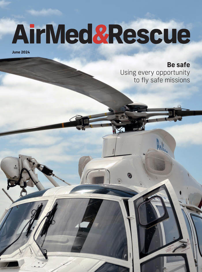
In our June edition, find out about the technology helping to make safety management better; learn about the tools that are reducing risks in flight; discover the challenges and problems facing the aerial firefighting community with suppressants and retardants; and read about what goes into electro-optical/infrared multi-sensor systems used by the police aviation sector; plus more of our regular content.
Editorial Team
The AirMed&Rescue Editorial Team works on the website to ensure timely and relevant news is online every day. With extensive experience and in-depth knowledge of the air medical and air rescue industries, the team is ready to respond to breaking industry news and investigate topics of interest to our readers.

